Land and Sea Mapping Tool
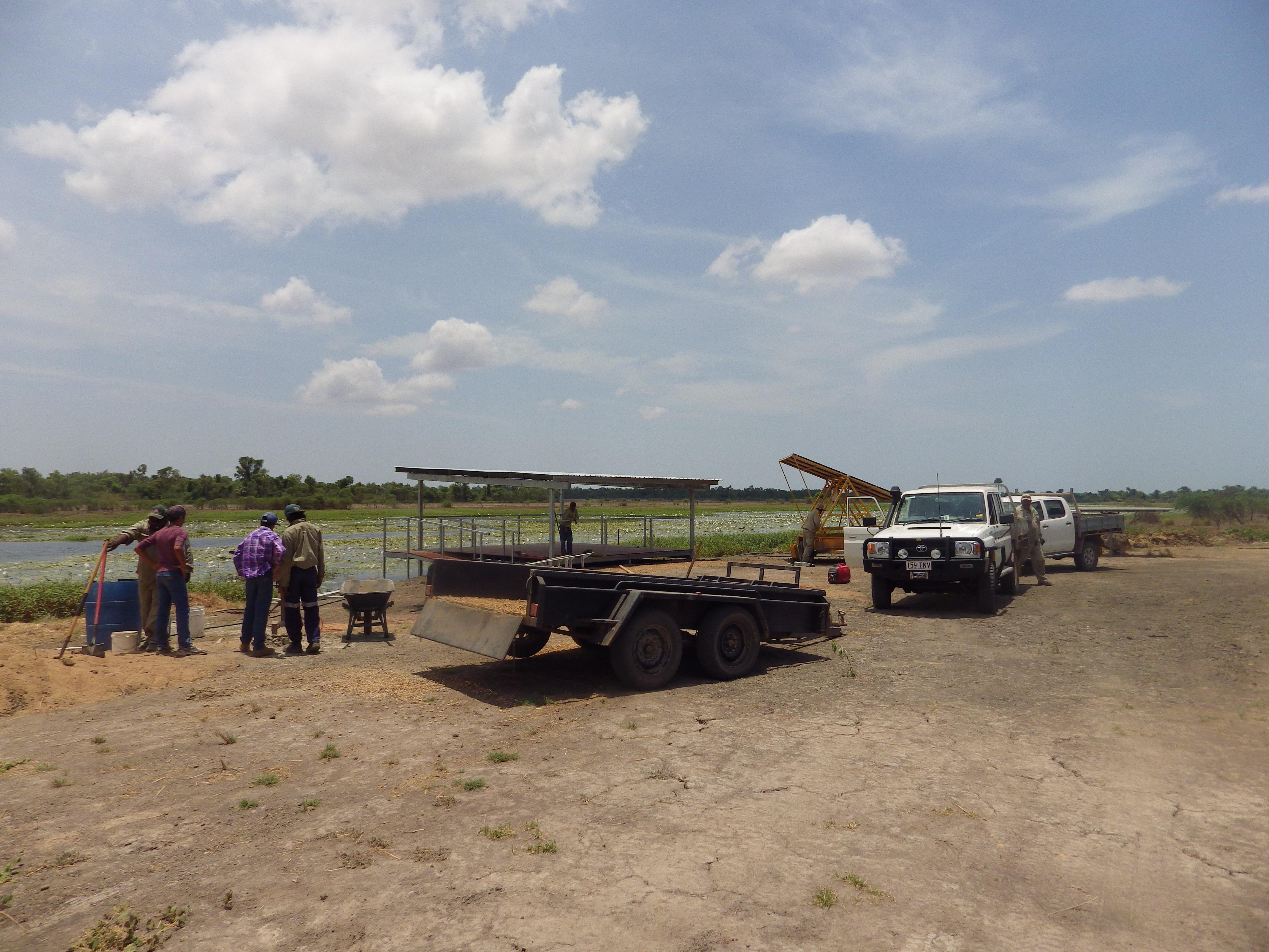
CLCAC rangers know why they work in this part of the world — it is to protect traditional lands and culture. But not many people realise the Southern Gulf of Carpentaria is one of the most special places ecologically on the planet. The CLCAC Land and Sea Mapping Tool provides a visual depiction of the diverse landscapes and ecosystems that the rangers manage across the Southern Gulf.
Use this interactive mapping tool to explore the diversity of the region by selecting the different GIS layers available. You are invited to discover the ecological significance of the lower Gulf by drawing together different sets of information and presenting them on one map.
Discover important information about the CLCAC region:
- Six sites of global bird conservation importance;
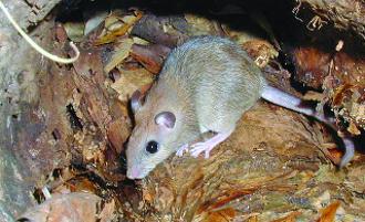
- 23 threatened flora and fauna species;
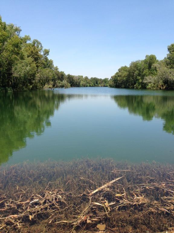
- 15 Nationally Important Wetlands occur within the Lower Gulf region, covering over 2 million hectares;
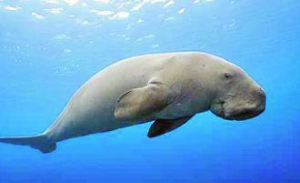
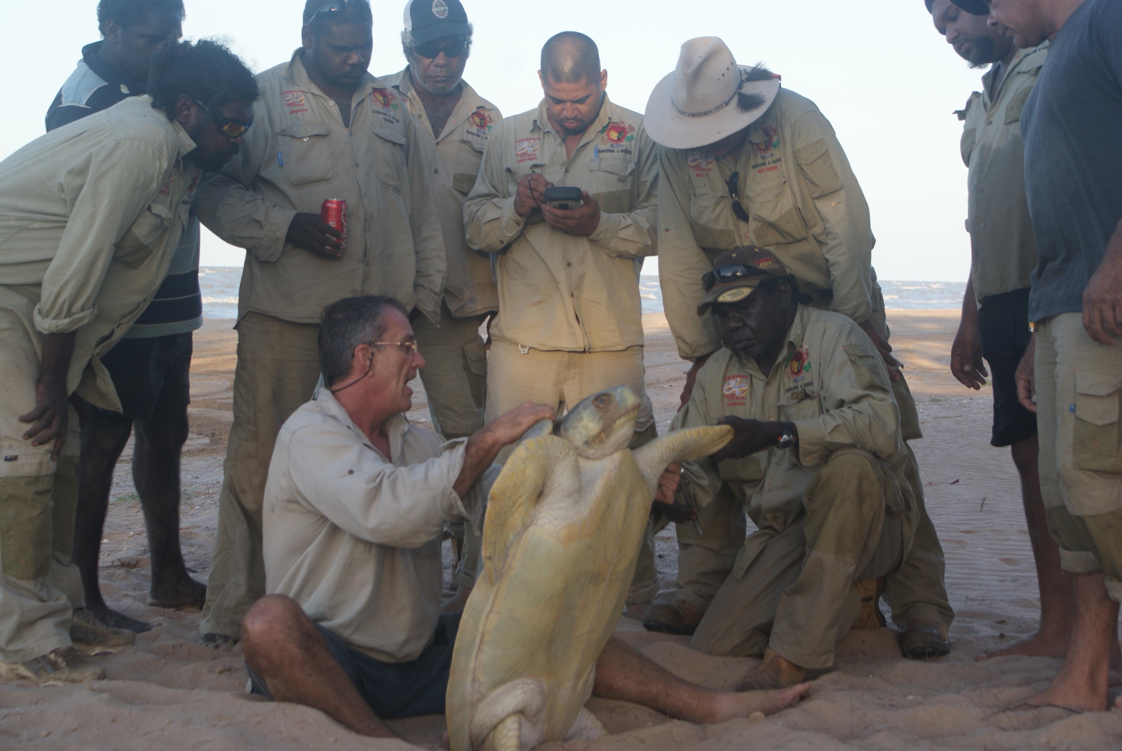
- The Southern Gulf of Carpentaria is an important habitat area for Turtle and Dugong;
- There are 35 Threatened Ecosystems in this region, many of which are not found anywhere else in the Country.
Select GIS layers of interest from the drop-down tab on the side. There are seven sets of GIS information to choose from:
- Important Wetlands
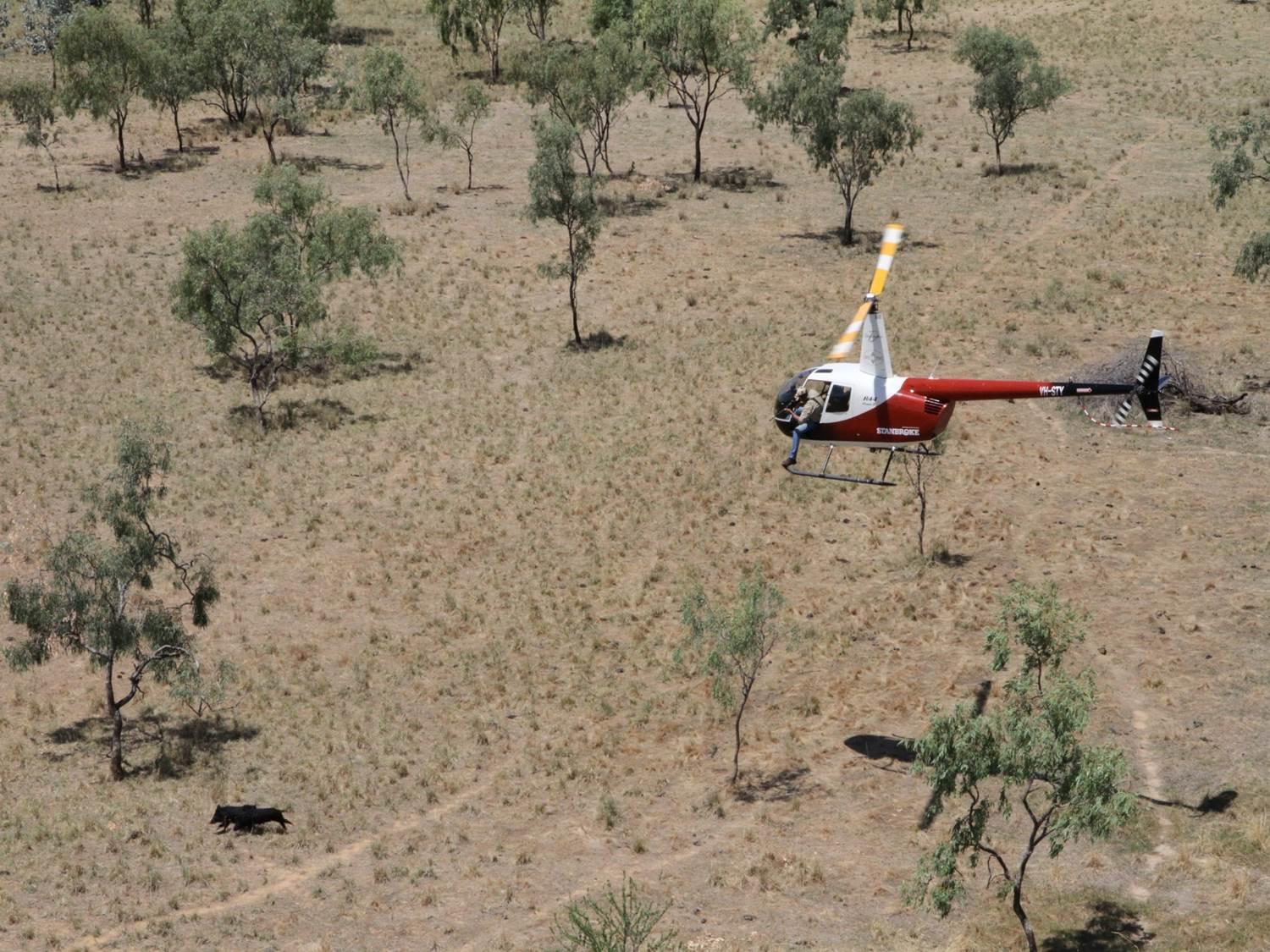
- Potential Fauna Habitat
- Potential Fish Habitat
- Conservation Corridors
- Property Boundaries
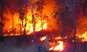
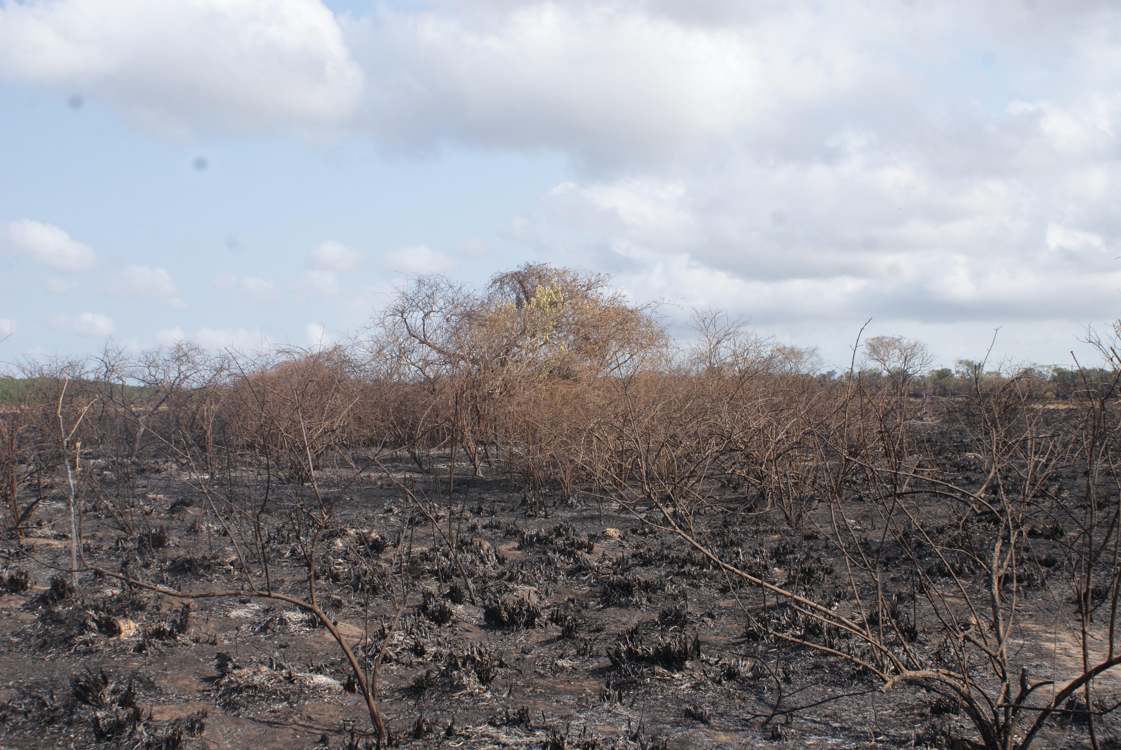
- Gulf Fire Landscape
- Regional Ecosystems
Please note some older web browsers may experience difficulties loading the mapping tool.